Roaring Springs
The layers of basalt that make up the cliff bordering the eastern edge of Catlow Valley provide a great place for water to seep out that has accumulated in these many layers. There is a fault-controlled, perched water table in these layers that carries water to this outlet, which is why it runs out down the slope up against the cliffs. Walking up the slope is a tedious job because of the saturated ground and lush vegetation, you may have trouble finding your footing - expect to get a little wet.
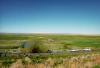
The Steens Mountains, to the east and ending at these cliffs, are fault-block mountains, meaning that due to extension in the area some parts of them drop creating grobens, and other parts of them have been uplifted. The southern end of Catlow Valley where Roaring Springs is located is part of a groben between the Hart Mountains and the Steens Mountains.
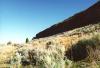
During the Pliesticine age, about 10,000 to 15,000 years ago, glacial run-off had filled both Catlow Valley and most of the other downdropped valleys in the area, creating huge lakes that dominated the landscape. On the eastern edge of Catlow Valley are large walls of rock (middle picture on the right), consisting of many different terraces, each formed by fluctuations in the lake level, much like wavecut platforms on a coastline.
Directions:
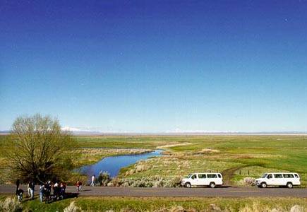
From Frenchglen on HW205 travel south for about 20 miles until you hit Catlow Valley Road. Turn left and take this road southeast for about 10 miles. When the cliffs on your left start to look large, look for the gravel turn off on the right, a good place to park. There isnt one specific spot where Roaring Springs is, so keep your eyes open for a good place to stop. If you pass Threemile Creek you've gone too far.
|