PARAMETER
LOCAL WEATHER
NORTHWEST/ NE PACIFIC
UNITED STATES
WORLD WEATHER
TUTORIALS
MISCELLANEOUS
JET
STREAM ~30,000 ft
500MB/850MB
~18,000ft
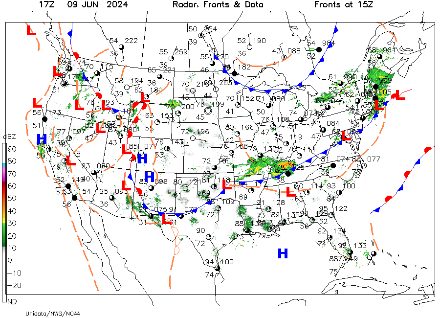
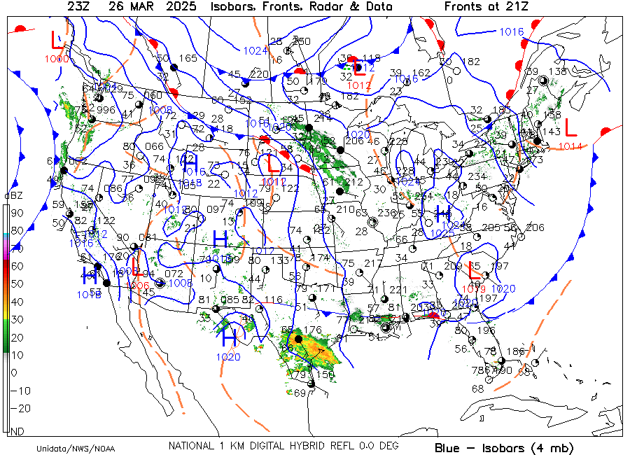
SURFACE
MAPS 1013 mb ~0 ft
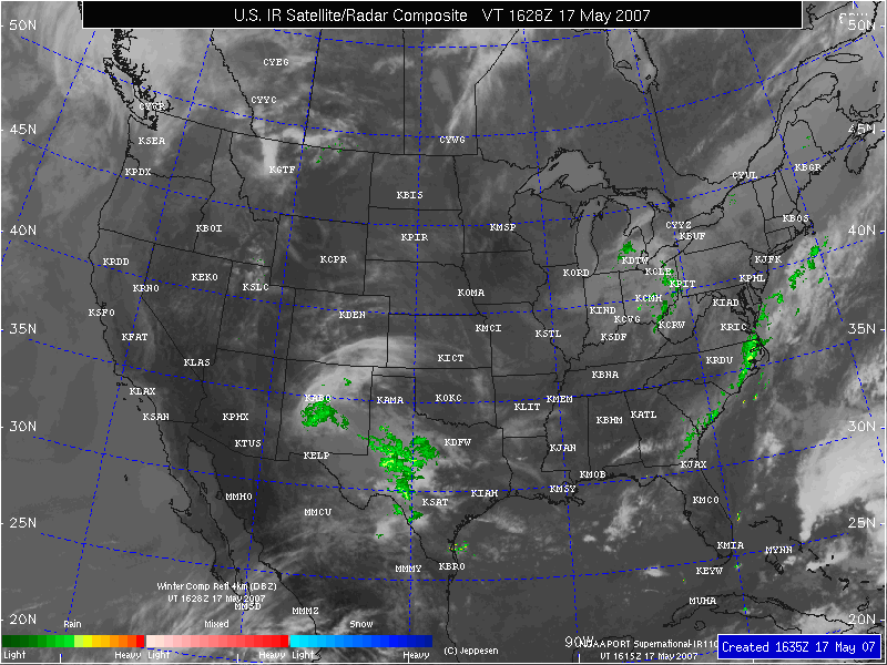
SATELLITE
IMAGES
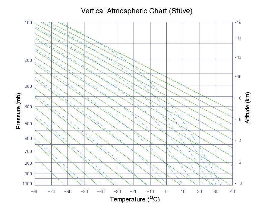
STUVES
(Atmospheric Sounding Data)
Salem Stuve from UofW with archives.
Sounding of Suve in meters & Millibars(KSLE)
http://weather.uwyo.edu/upperair/sounding.html (Best- Drop down menu to Stuve & then Click on SLE)
RADAR
OCEANS
FORECASTS
Guide to forecast and analysis
METEOGRAMS
(Daily weather data over a period of time-shown graphically)
Meteogram (AMS)
WEATHER STATIONS & FORECASTS
Humidity, Wind, and Temperature Conversions
Humidity, Dewpoint, Mixing Ratio calculator
CLIMATE
World Climate Type in locality
AVIATION